Total area: 23,200 sq km
Land area: 23,180 sq km
Water area: 20 sq km
Border countries: Eritree, Ethiopia, Somalia
Total distance of all boundaries: 516 km
Total Distance of coastline: 314 km
Terrain: coastal plain and plateau separated by central mountains
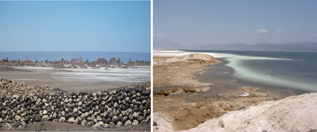
Point of lowest elevation: Lac Assal -155 m
Point of highest elevation: Moussa Ali 2,028 m
Land area: 23,180 sq km
Water area: 20 sq km
Border countries: Eritree, Ethiopia, Somalia
Total distance of all boundaries: 516 km
Total Distance of coastline: 314 km
Terrain: coastal plain and plateau separated by central mountains
Point of lowest elevation: Lac Assal -155 m
Point of highest elevation: Moussa Ali 2,028 m